We connect the community, organizations, authorities, companies, and everyone interested in OpenStreetMap. Together, we improve geodata and make it accessible to everyone.
Our Goal: To promote and enhance free geodata – together with you! Our Offering: We provide support for using OpenStreetMap, participating in the project, and answering questions about geodata. Our Role: As a bridge between the community and external partners, we foster dialogue and actively work on improving geodata quality.
General Information
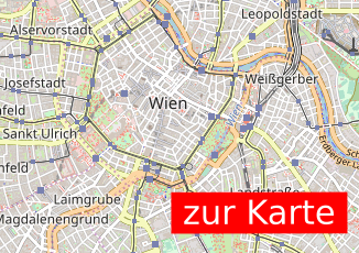
Where is the Map?
Here is an example map showcasing what can be done with OpenStreetMap:
I Want to Report an Issue!
You can report an issue directly on openstreetmap.org, or you can inform us at info@openstreetmap.at. We will get back to you as soon as our volunteer schedule allows – all our work is voluntary.
Find out how to support OpenStreetMap by visiting the Contribute page.
About the OpenStreetMap Project
OpenStreetMap (OSM) is an open, global database where geodata is collected by volunteers and made freely available. These data are the foundation for maps, navigation systems, and much more worldwide. Everyone can contribute – whether by adding a path, a park, or mapping entire neighborhoods in detail.
Learn more about OpenStreetMap on the About OSM page.
About OpenStreetMap Austria
History
OpenStreetMap Austria was founded in 2011 to organize the first “State of the Map” conference in Austria. Since then, we have built a rich history. In 2023, following a community vote, we became the official Local Chapter for Austria.
Mission
OpenStreetMap Austria (OSM-AT) actively promotes OpenStreetMap activities in Austria. We assist in using OSM data, mediate between the community and external partners, and work to improve and expand geodata quality. Our association acts as a voluntary point of contact for inquiries, clarifications, support, or mediation regarding OpenStreetMap.
We participate in various events, such as the Salzburg Maker Faire and the Graz Linux Days, to raise awareness about OpenStreetMap and strengthen the community. In the past, we were also present at the AGIT (formerly GI_Salzburg) and the Maker Faire Vienna, which unfortunately no longer take place.
Note on Data Sovereignty
OpenStreetMap Austria (OSM-AT) does not control the OpenStreetMap database and does not provide its own map material. We are also not responsible for the content of the database or the map. The OpenStreetMap project is operated by a British NGO, the OpenStreetMap Foundation, which holds data sovereignty.
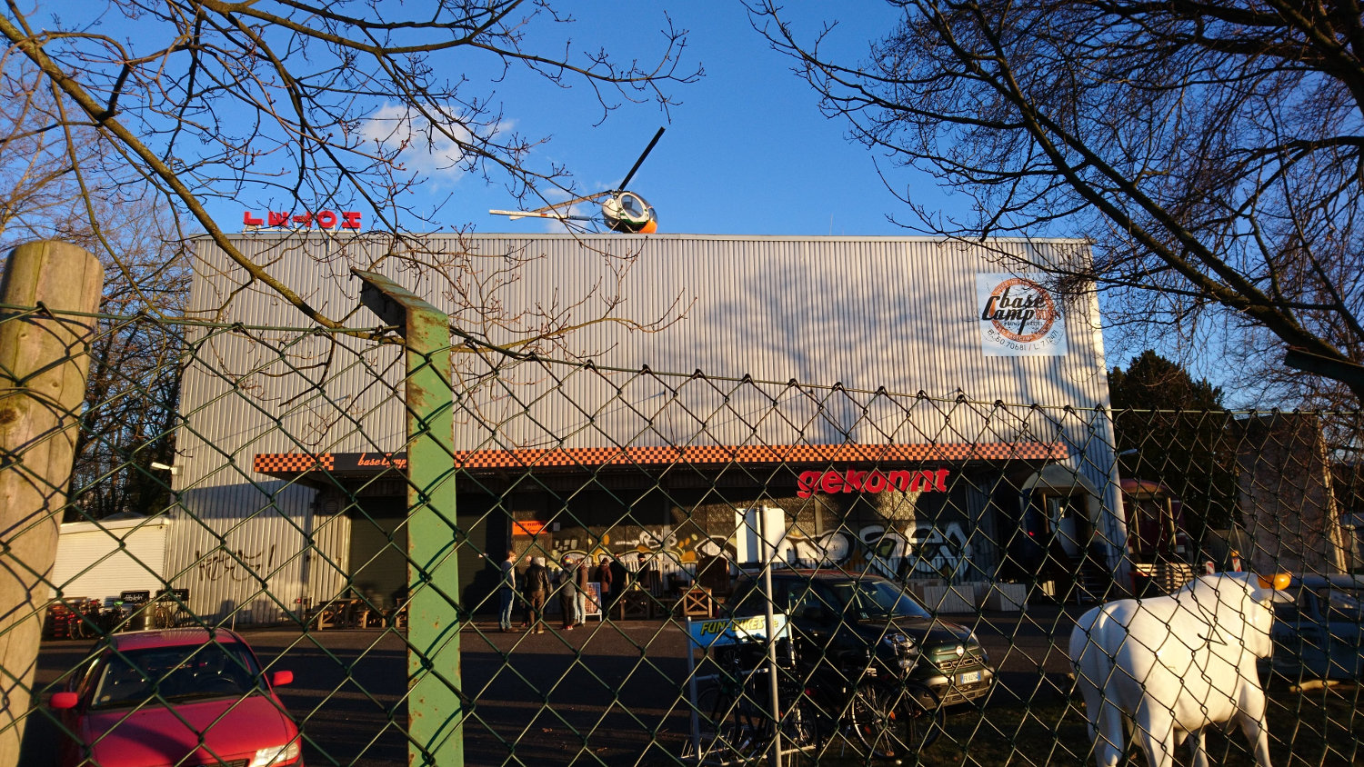
From 18-03-2018 to 25-03-2018, an OsGeo CodeSprint is taking place in Bonn at the extremely impressive BaseCamp hostel: https://wiki.osgeo.org/wiki/OSGeo_Code_Sprint_2018. My colleague BearT and I (ScubbX) have been there since Monday and Sunday respectively. While I will be attending the FOSSGIS conference, which is taking place at the same time, from Wednesday, BearT had to leave on Tuesday for work reasons.
[caption id=“attachment_484” align=“alignnone” width=“1500”] The base camp building in Bonn[/caption]
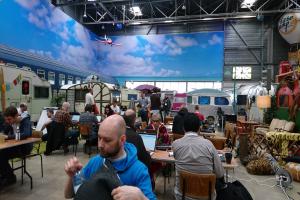
What immediately catches the eye is the impressive structure of the hostel. From the outside, it looks like a large factory hall. As soon as you enter through the unassuming front door, you enter a world of its own: the entire hall is open and filled with campervans in different designs. A gallery is built along one side of the hall, where the kitchen and dining areas are located. But these places can also be used for code sprinting, as the GRASS-GIS team has demonstrated.
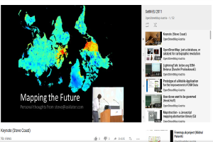
It’s hard to believe, but true: the video recording of the StateOfTheMap Europe 2011 conference has made it onto the brand new ‘OpenStreetMap Austria’ channel on YouTube!
It is amazing to see that the resolution used at the time was the optimum for the required storage. Originally, YouTube was not used because at that time there was still a limit for the videos that could be uploaded for free, which would have been exceeded for almost every presentation.
At ‘mapping parties’, volunteers help to put neglected crisis regions on the map. This data is important for the work of aid organisations so that they can react faster and in a more targeted manner in the event of a crisis. The Red Cross and Médecins Sans Frontières are jointly organising a mapathon on 22 March to mark World Water Day.
Who can participate?
Anyone can participate, whether you are a beginner or an experienced mapper. All you need to bring is your own laptop (including a mouse).
 The base camp building in Bonn[/caption]