We connect the community, organizations, authorities, companies, and everyone interested in OpenStreetMap. Together, we improve geodata and make it accessible to everyone.
Our Goal: To promote and enhance free geodata – together with you! Our Offering: We provide support for using OpenStreetMap, participating in the project, and answering questions about geodata. Our Role: As a bridge between the community and external partners, we foster dialogue and actively work on improving geodata quality.
General Information
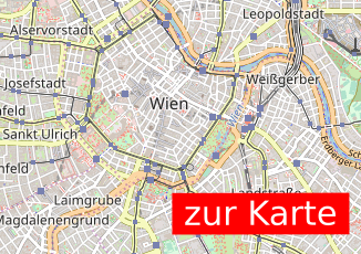
Where is the Map?
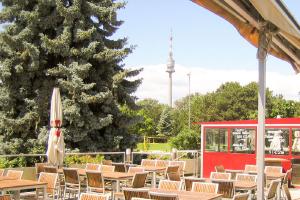
Here is an example map showcasing what can be done with OpenStreetMap:
I Want to Report an Issue!
You can report an issue directly on openstreetmap.org, or you can inform us at info@openstreetmap.at. We will get back to you as soon as our volunteer schedule allows – all our work is voluntary.
Find out how to support OpenStreetMap by visiting the Contribute page.
About the OpenStreetMap Project
OpenStreetMap (OSM) is an open, global database where geodata is collected by volunteers and made freely available. These data are the foundation for maps, navigation systems, and much more worldwide. Everyone can contribute – whether by adding a path, a park, or mapping entire neighborhoods in detail.
Learn more about OpenStreetMap on the About OSM page.
About OpenStreetMap Austria
History
OpenStreetMap Austria was founded in 2011 to organize the first “State of the Map” conference in Austria. Since then, we have built a rich history. In 2023, following a community vote, we became the official Local Chapter for Austria.
Mission
OpenStreetMap Austria (OSM-AT) actively promotes OpenStreetMap activities in Austria. We assist in using OSM data, mediate between the community and external partners, and work to improve and expand geodata quality. Our association acts as a voluntary point of contact for inquiries, clarifications, support, or mediation regarding OpenStreetMap.
We participate in various events, such as the Salzburg Maker Faire and the Graz Linux Days, to raise awareness about OpenStreetMap and strengthen the community. In the past, we were also present at the AGIT (formerly GI_Salzburg) and the Maker Faire Vienna, which unfortunately no longer take place.
Note on Data Sovereignty
OpenStreetMap Austria (OSM-AT) does not control the OpenStreetMap database and does not provide its own map material. We are also not responsible for the content of the database or the map. The OpenStreetMap project is operated by a British NGO, the OpenStreetMap Foundation, which holds data sovereignty.
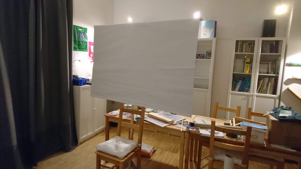
We have something new planned for this year: I (ScubbX) will be taking my projector, which I bought second hand and which has been sitting in my cupboard unused ever since, to AGIT and putting it to use. After the accident with my TV last year, I’ve become a bit more cautious about bringing equipment into the house…
[caption id=“attachment_555” align=“alignnone” width=“1024”] The self-designed screen mounting system[/caption]
We were able to complete most of the stand construction on the day we arrived. The small jobs and fine-tuning were done this morning. This year we welcome our guests with a multimedia installation:
projector with FOSSGIS and OSM videos
2x screens for presentations and recruiting new OSM users
[caption id=“attachment_567” align=“alignnone” width=“1024”] OSM maps[/caption]
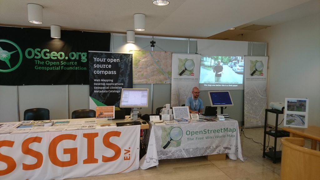
Since we were assigned a different location again this year, we had to be a little more creative in setting up the stand. Thanks to the preparatory work of Scubbx, this was possible without any major difficulties and we and our visitors are very satisfied with the result. Here are a few impressions of the day.
This year again, there is the [‘netidee’ funding pot] (https://www.netidee.at/), in which some of the projects submitted are sponsored with up to €50,000. Submissions are still possible until 17 July 2018. There are bound to be some OpenStreetMap or FOSSGIS projects that would fit in there.
The requirements for submitting a project are that all results are and remain open source or are published under a Creative Commons licence.
On Monday, 4 June 2018 at 6:00 pm, the second meeting of the Vienna GIS scene will take place under the name ViennaGeo Meetup!
The details of the programme, which also includes OpenStreetMap, are as follows:
we will meet this time at the ‘donau city treff’ [www.dctreff.at](http://www.dctreff.at ‘www.dctreff.at’) which is a few metres from the U1 underground station ‘Alte Donau’ [https://www.openstreetmap.org/way/31472469](https://www.openstreetmap. org/way/31472469 ‘https://www.openstreetmap.org/way/31472469’) food and drinks will be available during the meetup. everyone pays their own bill.
 The self-designed screen mounting system[/caption]
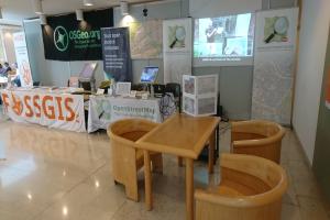
 Multimedia stand[/caption]
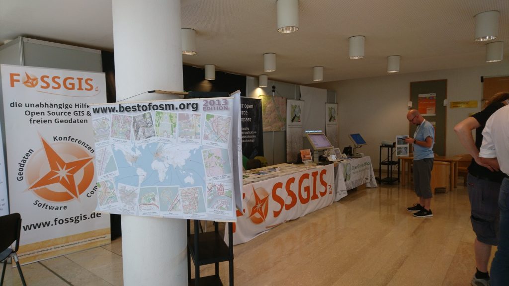 OSM maps[/caption]