Veranstaltungen

AGIT 2018: Day 1

AGIT 2018: Day 1

Geologist
Translations: DE

We’ve arrived at AGIT.

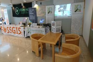
We were able to complete most of the stand construction on the day we arrived. The small jobs and fine-tuning were done this morning. This year we welcome our guests with a multimedia installation:

  • projector with FOSSGIS and OSM videos
  • 2x screens for presentations and recruiting new OSM users

[caption id=“attachment_566” align=“alignnone” width=“1024”]Stand Multimedia 
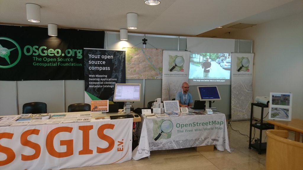
Multimedia stand[/caption]

[caption id=“attachment_567” align=“alignnone” width=“1024”]
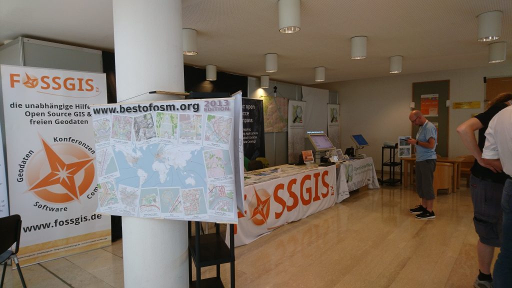
OSM Stand Karten OSM maps[/caption]

Since we were assigned a different location again this year, we had to be a little more creative in setting up the stand. Thanks to the preparatory work of Scubbx, this was possible without any major difficulties and we and our visitors are very satisfied with the result. Here are a few impressions of the day.

AGIT 2018: preparation

AGIT 2018: preparation

Scubbx
Translations: DE

It won’t be long now before AGIT opens its doors!

We have something new planned for this year: I (ScubbX) will be taking my projector, which I bought second hand and which has been sitting in my cupboard unused ever since, to AGIT and putting it to use. After the accident with my TV last year, I’ve become a bit more cautious about bringing equipment into the house…

[caption id=“attachment_555” align=“alignnone” width=“1024”] 
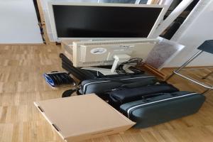
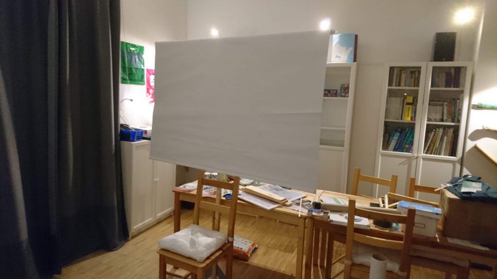
The self-designed screen mounting system[/caption]

FrOSCon 2018: Call for Papers

FrOSCon 2018: Call for Papers

Scubbx
Translations: DE

The FrOSCon, an important conference on open-source software at the Bonn-Rhein-Sieg University of Applied Sciences, is looking for talks! Contributions can still be submitted until 23 May 2018. The list of topics sought includes the entry ‘GIS’ (GeoInformationSoftware).

There will even be a separate sub-conference on OSM!

Original mail:

FrOSCON 2018 with OSGeo & OSM sub-conference ——————————-———- Open Geospatial, OpenStreetMap, OpenData, free software from the GIS sector

For the second time, there will be a sub-conference at FrOSCon about free geodata and software. FOSSGIS e.V. (http://fossgis.de) is organising this track and is looking for talks about OpenStreetMap, free geodata, free software in the field of GIS and more. Lightening talks (20 min) as well as longer talks (45 min) can be submitted.

Day 1 of Linuxwochen 2018

Day 1 of Linuxwochen 2018

Scubbx
Translations: DE

The first day of Linuxwochen 2018 in Vienna is over!

In addition to many interesting lectures on blockchain, Vienna GIS or optimising PostgreSQL databases, there was also an OSM stand again this year, right next to the Mozilla stand, where a browser-based virtual reality solution including VR glasses could be tried out.

[caption id=“attachment_507” align=“alignnone” width=“450”] 
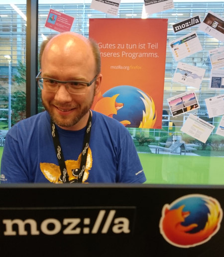
Kairo at the Mozilla stand at Linuxwochen 2018[/caption]

The OSM booth was manned by ScubbX and, from the afternoon onwards, by BearT as well. We are already looking forward to tomorrow, Friday!

Report: OsGeo CodeSprint in Bonn 2018

Report: OsGeo CodeSprint in Bonn 2018

Scubbx
Translations: DE

From 18-03-2018 to 25-03-2018, an OsGeo CodeSprint is taking place in Bonn at the extremely impressive BaseCamp hostel: https://wiki.osgeo.org/wiki/OSGeo_Code_Sprint_2018. My colleague BearT and I (ScubbX) have been there since Monday and Sunday respectively. While I will be attending the FOSSGIS conference, which is taking place at the same time, from Wednesday, BearT had to leave on Tuesday for work reasons.

[caption id=“attachment_484” align=“alignnone” width=“1500”] 
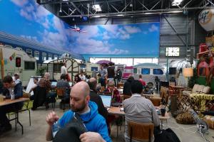
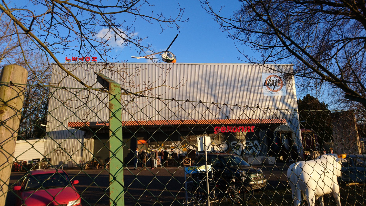
The base camp building in Bonn[/caption]

What immediately catches the eye is the impressive structure of the hostel. From the outside, it looks like a large factory hall. As soon as you enter through the unassuming front door, you enter a world of its own: the entire hall is open and filled with campervans in different designs. A gallery is built along one side of the hall, where the kitchen and dining areas are located. But these places can also be used for code sprinting, as the GRASS-GIS team has demonstrated.